Champa Kingdom: Facts with History and Map Territory
Champa Kingdom was an ancient country that existed continuously independently through the periods from 192 to 1832. The border area of Champa at its most extensive corresponds to present-day Central Vietnam, stretching from the Hoanh Son mountain range, Quang Binh in the north to Binh Thuan in the south and from the East Sea to the western mountains of present-day Laos.
Through a number of names Lam Ap, Panduranga, Champa on the land now belongs to Central Vietnam. Champa culture is influenced by Indian and Javanese culture, has developed brilliantly with artistic peaks of Dong Duong style and My Son style, but many monuments of temples and stone sculptures, especially the linga-shaped artifacts still exist to this day, showing the influence of Hinduism and Buddhism as the two main religions of the owners of the ancient Champa kingdom.
- History of Champa Kingdom (192 - 1932):
The History of Champa Kingdom includes: Prehistory, Sa Huynh Culture, Lam Ap (192 - 757), Hoan Vuong (757 - 859), Champa (875 - 1471), Kauthara (1471 - 1611), Panduranga (1611 - 1698) ), Thuan Thanh Tran (1693 - 1832). Champa flourished in the 9th and 10th centuries and then gradually weakened under the pressure of Dai Viet (Vietnam now) dynasties from the north and wars with the Khmer Empire.
In 1471, Champa suffered a heavy defeat to Dai Viet and lost most of its northern territory to Dai Viet. The remaining territory of Champa was divided into small states, and then continued to be gradually annexed by the Nguyen lords, and in 1832 the whole kingdom was officially annexed to Vietnam under the reign of King Minh Mang.
- Territory of Champa Kingdom:
The Kingdom of Champa is not a country with a "centrally centralized" political system, but a form of federal state consisting of the Cham ethnic group who follow Brahmanism, Hinduism, Buddhism and Islam, and some A smaller ethnic group in the mountains of the Central Highlands, typical of the same language as the Ede, Giarai was once a resident of central Champa maintaining the indigenous Austronesian folk beliefs, now most of them have converted to Christianity since the mid-19th century.
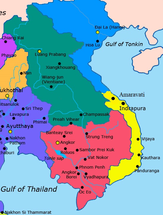
There are sources that indicate that Champa can be combined from four small states: Amaravati, Vijaya, Kauthara and Panduranga. Each state has a political system in the form of autonomy and has the right to secede from the federation to build its own independent state. The Kingdom of Champa went through many dynasties with many times moving the capital from the North to the South and vice versa.
Since 757, on the territory of Champa present 5 regions with names derived from Indian history. The location and scope of each territory is as follows:
1. Amaravati (757 - 1471): This region is now in Thua Thien Hue Province. Area was given to Vietnamese King of the Tran Dynasty on 1306 as the wedding gift when King Che Man (Red King) of Champa Kingdom wanted to get marrage to Vietnamese Princess Huyen Tran.
2. Indrapura (757 - 1471): Now is Dong Duong village, Thang Binh district, Quang Nam province. This area has two centers: Indrapura city located in Dong Duong area, in the territory of Thang Binh district, Quang Nam province and Sinhapura city located in Tra Kieu, Duy Xuyen district, Quang Nam today. And My Son Sanctuary (Click to See >>>) is located about 25 km southwest of Tra Kieu, where there are still many relics of Cham temples and towers.
This area at its most expanded also included 5 continents: Bo Chinh, Geography, Ma Linh, and O, Ri, which were later merged into Dai Viet through two waves, corresponding to the Thuan Hoa inheritance, today are the Quang Binh, Quang Tri, and Thua Thien–Hue provinces.
3. Vijaya (757 - 1471): The capital is also the city of the same name Vijaya which in the history books of the Vietnamese is called Cha Ban (the Le Dynasty), which Vietnamese history books mistakenly write as Do Ban, located near Quy Nhon city in Binh province. Set today. This area included the entire area of Binh Dinh province and part of present-day Quang Ngai province.
4. Kauthara (757 - 1653): The capital was Kauthara city, now Nha Trang in Khanh Hoa province. This area included two provinces that are now Khanh Hoa and Phu Yen.
5. Panduranga (757 - 1832): The capital is Panduranga city today is Phan Rang city - Ragurra Cham tower in Ninh Thuan province. This area included two provinces that are now Ninh Thuan and Binh Thuan. Panduranga was the last Champa territory to be annexed by Dai Viet. Under the Nguyen lords as well as at the beginning of the Nguyen Dynasty, it was called Thuan Thanh.
See Also:
![]()
![]()
![]()
![]()
![]()
Best of Vietnam
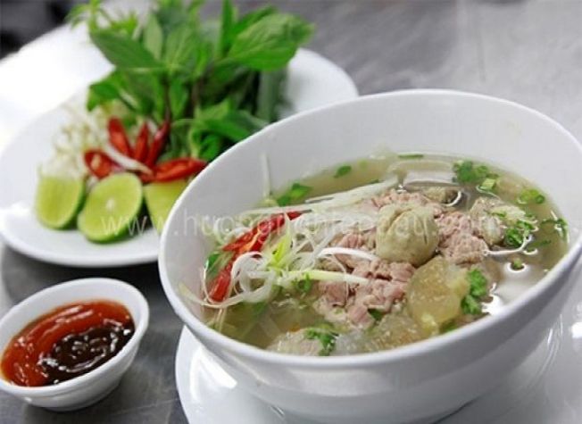
Best Vietnamese Food You Have to Try in Vietnam
Best Food in Vietnam: Vietnamese Traditional Food is top World well known to be both healthy and...
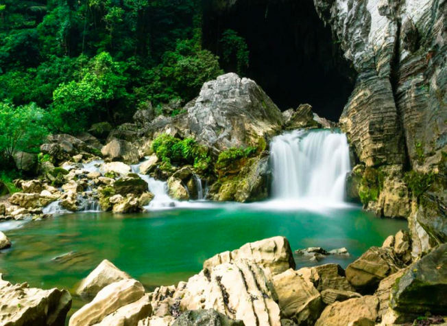
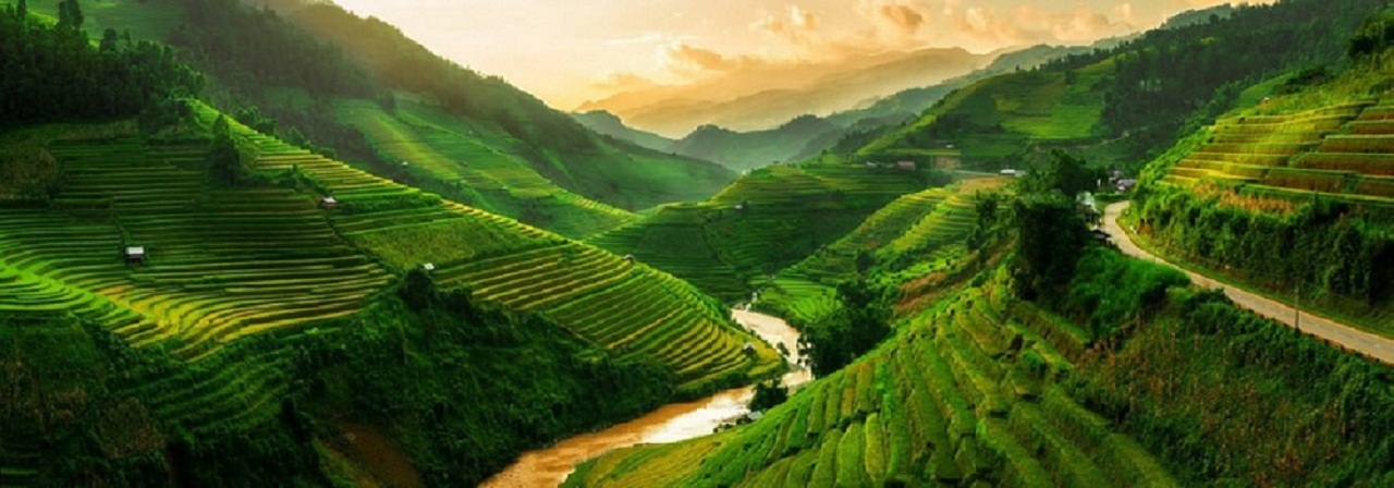
10 Best National Parks in Vietnam
Vietnam Travel Guide: If you look for the Best Wildlife Discovery Experience in Vietnam, here are...
Read More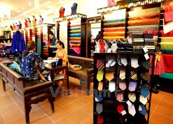
Best Souvenir to Buy in Vietnam
If you look for Best Things to Buy when traveling to Vietnam to bring home for your family & friends...
Read More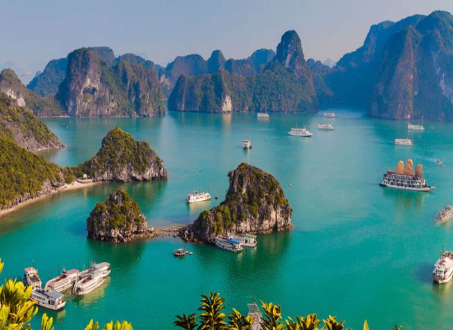
The 10 Best Places to Visit in Vietnam
Vietnam Travel Guide: Home to an extensive collection of historical and cultural attractions,...
Read More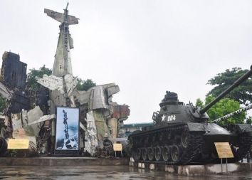
Top 10 Museums You Should Not Miss in Vietnam
Vietnam, 4.000 years old country has a unique and lengthy history, culture with 54 ethnic groups. It...
Read MoreFind your trip
Vietnam Best Tours
Vietnam Car Rental
Vietnam Travel Blog
- Vietnamese People: Origin, History, Culture and Traditions
- Vietnam Currency: Best ATM and Places to Exchange Money
- Vietnam Map: Regions, Cities & Provinces Map of Vietnam
- What is illegal Things in Vietnam: Rules & Laws for Tourists
- Best Time to Travel to Vietnam to Avoid the Bad Weather
- Vietnam News: Population & Religions of 54 Ethnic Groups